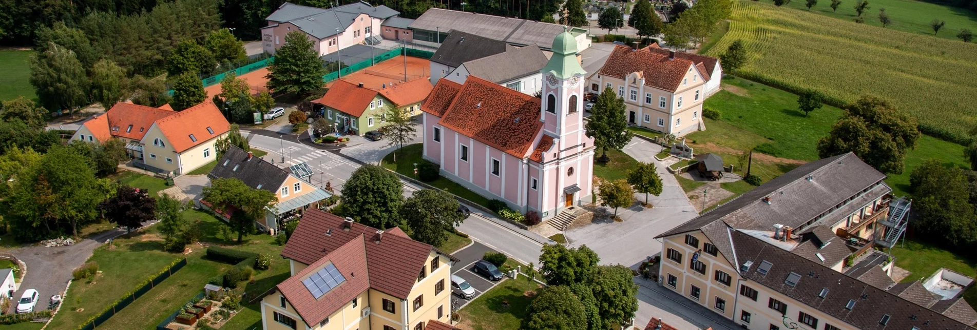

Alley circular trail (Gassl-Rundwanderweg)
OpenAdditional information
Tourist office Thermen- & Vulkanland
Gästeinfo Bad Waltersdorf
Hauptplatz 90
8271 Bad Waltersdorf
Tel: +43 3382 55 100-71
badwaltersdorf@thermen-vulkanland.at
www.thermen-vulkanland.at
The Styria Tours App, available for free on Google Play and in the App Store (Android, iOS), offers detailed first-hand information: short facts (length, duration, difficulty, ascent and descent in altitude meters, ratings), map, route descriptions, altimeter, compass, summit finder, navigation along the tour.
Author’s recommendation
- GenussCard
- Visit to the local museum
Author
Infobüro Bad Waltersdorf
Safety guidelines
Emergency call mountain rescue: 140
ambulance: 144
European emergency call: 112
firefighters: 122
police: 133
Tips when reporting an emergency – Answer these six WH questions: What happened? How many people are injured? Where did the accident happen (are there GPS coordinates)? Who is reporting the incident (callback number)? When did the accident happen? What is the weather like at the site of the incident?
Directions
1. start: St. Magdalena village center
2. along the provincial road in the direction of Weinberg
3. in Weinberg turn right, through the Schönboden forest to Mitterndorf
4. M3 joins M4
5. short stretch on asphalt road, then continue right, back to St. Magdalena to the starting point
Literature
Various hiking maps can be found in the information office Bad Waltersdorf.
Characteristics
Best season
The tour in numbers
Map & downloads
More information
A2 freeway in the direction of Graz - you take the Sebersdorf/ Bad Waltersdorf exit, then in the direction of St. Magdalena.
From direction Graz:
Freeway A2 direction Vienna - you take the exit Sebersdorf/ Bad Waltersdorf, then direction St. Magdalena.
Detailed information on how to get to us can be found here.
Der Start der Wanderung befindet sich in der Ortmitte von St. Magdalena. Von hier aus wandern Sie entlang der Landesstraße Richtung Weinberg. In Weinberg biegen Sie rechts ab und gehen durch den Schönbodenwald nach Mitterndorf. Ab hier mündet der Gassl-Rundwanderweg in den M4. Zuletzt geht es ein kurzes Stück über eine Aspahltstraße, dann rechts weiter und zrück nach St. Magdalena zum Ausgangspunkt.
- Start: Ortsmitte St. Magdalena
- Entlang der Landesstraße Richtung Weinberg
- In Weinberg rechts abbiegen, durch den Schönbodenwald nach Mitterndorf
- M3 mündet in M4
- Kurzes Stück über Asphaltstraße, dann rechts weiter, zurück nach St. Magdalena zum Ausgangspunkt
- Urlaub so ganz wie ich will in 4 Regionen der Steiermark. 365 Tage Urlaubsfreude mit der GenussCard.
- Besuch im Heimatmuseum
Detailed information about arriving by ÖBB (Austrian Federal Railways) can be found at www.oebb.at or on the Verbundlinie Steiermark website www.busbahnbim.at
With Verbundlinie’s BusBahnBim route planner app, planning your journey has never been easier: simply enter towns and/or addresses, stop names or points of interest to check all bus, train and tram connections in Austria. The app is available free of charge for smartphones – on Google Play and in the App Store
Tourismusverband Thermen- & Vulkanland
Gästeinfo Bad WaltersdorfHauptplatz 908271 Bad WaltersdorfTel: +43 3382 55 100-71badwaltersdorf@thermen-vulkanland.atwww.thermen-vulkanland.at
Die Steiermark Touren App, die gratis auf Google Play und im App Store zur Verfügung steht (Android, iOS), bietet detaillierte Informationen aus erster Hand: Shortfacts (Länge, Dauer, Schwierigkeit, Aufstieg und Abstieg in Höhenmetern, Bewertungen), Karte, Wegbeschreibungen, Höhenmesser, Kompass, Gipfelfinder, Navigation entlang der Tour.
Diverse Wanderkarten finden Sie im Infobüro Bad Waltersdorf.


